

- This event has passed.
Land Navigation
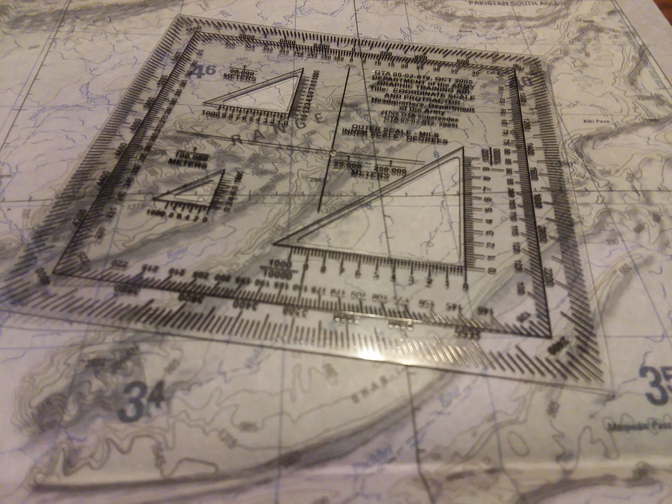
This basic land navigation course teaches students the essential skills needed to move confidently using a map and compass. Participants learn how to read topographic maps, identify terrain features, interpret contour lines, work with grid coordinates, plot points with a protractor, and determine distance using the map’s scale. The class covers basic compass use—including shooting and following an azimuth—and how to apply declination (GM angle) to convert between grid and magnetic bearings. Students establish a personal pace count by walking a 100-meter lane and learn how terrain affects their step count. The session concludes with a short practical exercise where students plot a point, shoot an azimuth, estimate distance using their pace count, and navigate to a marked location, giving them hands-on confidence in the fundamentals of daytime land navigation.
Directions
- DO NOT go to the office on Ruthrauff Rd.
- From I-10, take exit 232 Pinal Airpark Rd
- Enter the Pinal Airpark and take a RIGHT at the Y in the road
- Go toward Gov Planet
- Drive to the stop sign. The range is to your front across the gravel. You will see a red range flag inside the gates.
- If the gate is not open, please wait until staff opens it.